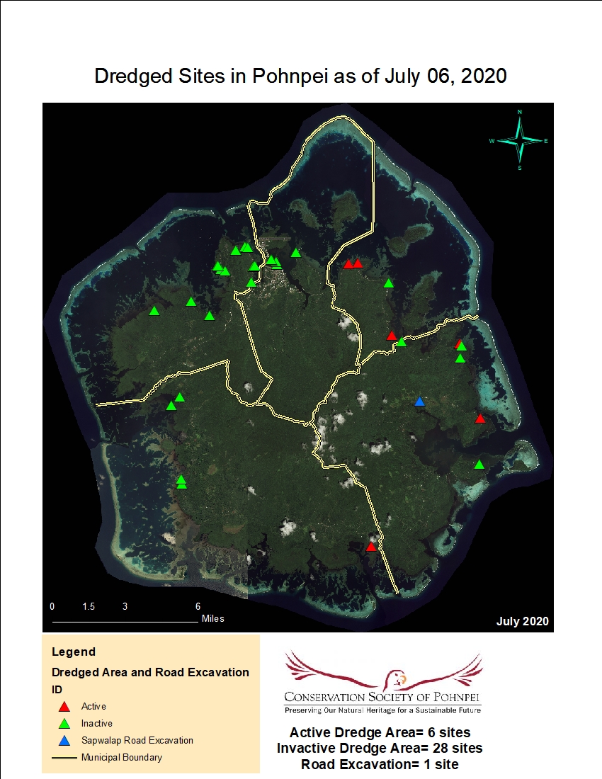
Dredged sites in Pohnpei as of July 06, 2020
This map shows the locations of dredged sites (active and inactive) around Pohnpei shoreline as of July 6, 2020. Map was developed by MCT and CSP.
There are no views created for this resource yet.
Additional Information
| Field | Value |
|---|---|
| Updated on pacificdata.org | April 10, 2025 |
| Added to pacificdata.org | April 10, 2025 |
| Format | JPEG |
| License | SPREP Public License |
| Access URL | |
| Download URL | |
| Size | 0B |
| Issued | |
| Language | |
| Hash | |
| Hash Algorithm |